
OHH! ITALY Journal · Emilia-Romagna
Beyond the Via Emilia
An atlas of castles, courts and fortified places
The Via Emilia gives the region a line.
The castles reveal everything that happens away from it.
North and south of the Roman road, Emilia-Romagna breaks into river valleys, foothills, former duchies, agricultural estates and old territories of defence. Here the architecture changes quickly. A fortress guarding an Apennine approach has little in common with a Renaissance court on the plain. A ducal residence belongs to another world again.
This is why we do not think of the castles of Emilia-Romagna as a circuit.
They are an atlas.
And an atlas is something to choose from.
West of Parma
The Parmense
West of Parma, the density becomes remarkable. It is not a collection of similar buildings. It is a change of landscape every few kilometres: the valley steepens, the plain opens, a court appears where a fortress used to be.
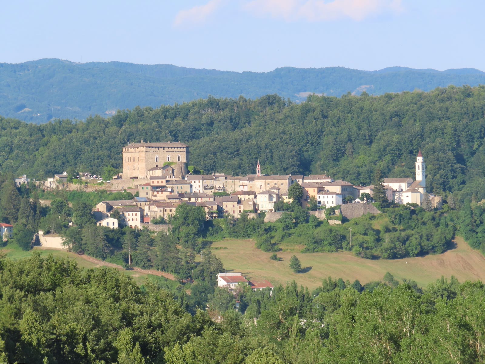
Compiano rises above the upper Taro valley, where the geography already begins to feel more Apennine than Po Valley. The castle sits with the town, not apart from it. The road up is the argument: you have left the spine.
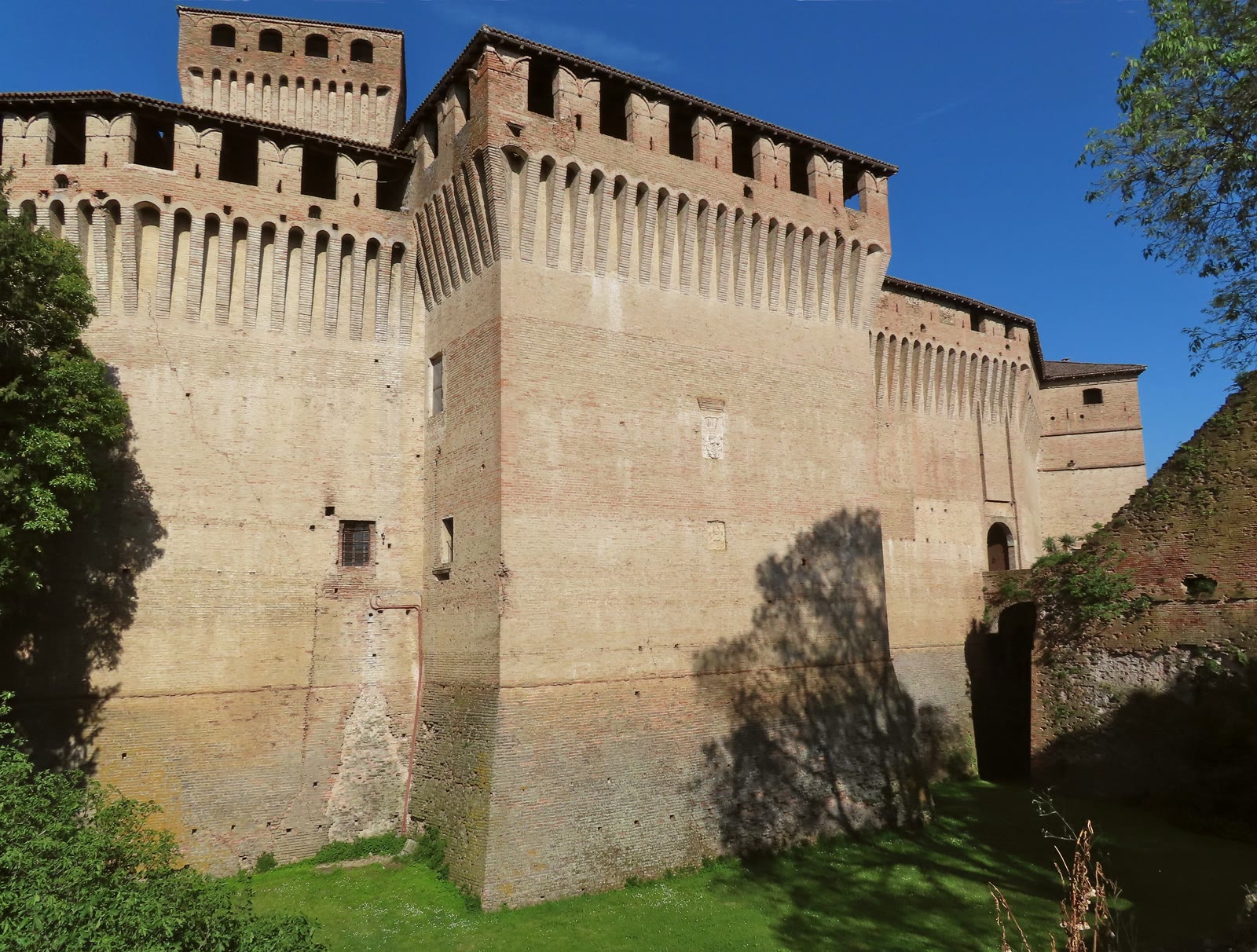
Montechiarugolo belongs to another setting: fortified architecture close to Parma, looking towards the Enza. Brick, a keep, a fossato. Defence that still reads as defence, even after the rooms inside have taken other uses.
Then come the courts and residences of the Parma plain.
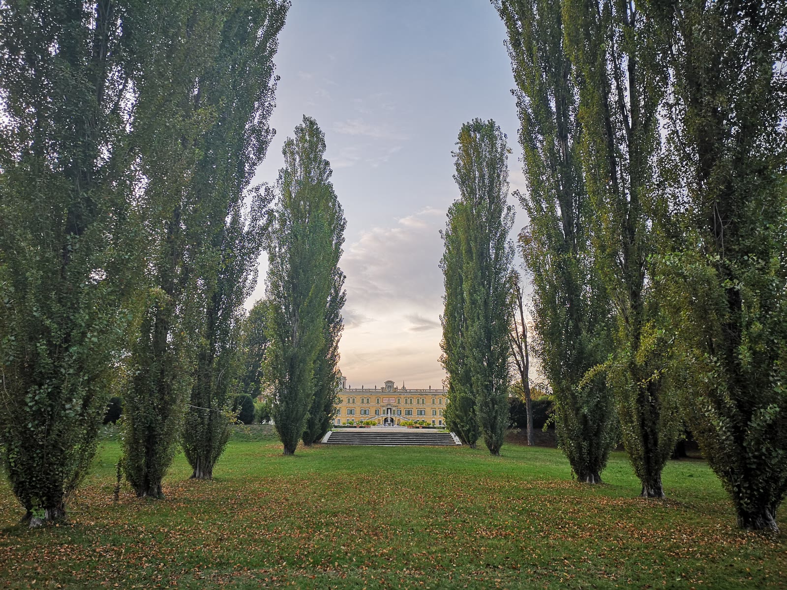
Soragna. San Secondo. Sala Baganza. Roccabianca. Colorno.
Their names describe different chapters of the same political landscape: defensive structures altered into residences, aristocratic houses, frescoed rooms, gardens and the traces of families that controlled land as much as buildings.
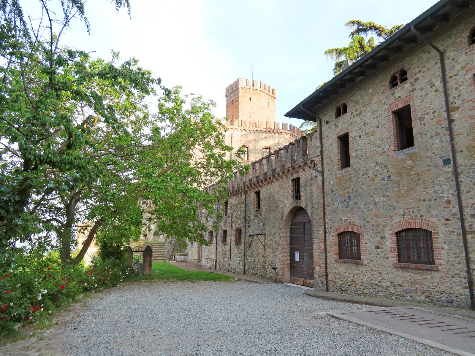
Further west and south, the architecture returns to the edge of the hills. Scipione and Tabiano stand above the country around Salsomaggiore. Stone takes over from the long brick fronts of the plain. The view is agricultural, not civic.
Varano keeps a Pallavicino hold on the Ceno, between the Cisa country and the city. Rocca Pallavicina keeps the same name on the Po, towards Busseto — another landscape, the same family intelligence. One name does not mean one day, and it does not mean both belong in the same week.
This is one fold of the atlas, not a circuit. Torrechiara and Fontanellato belong to the same Parmense stone; they already have their plates on the Emilia-Romagna private journey. They are not repeated here as stops still waiting to be ticked.
A change of ground
The Piacentino
Plain, then valleys, then rock, then the Apennines.
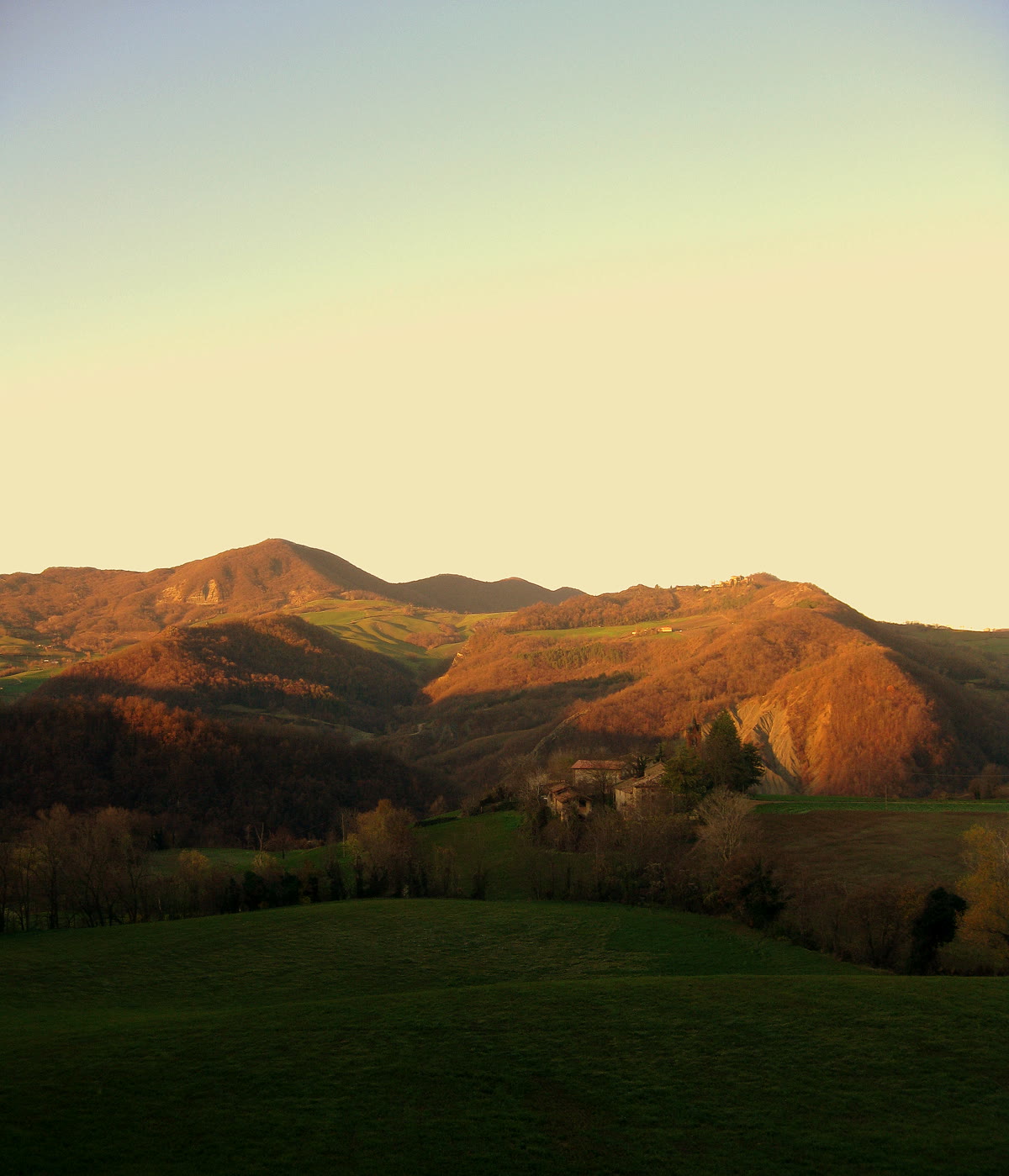
West of Piacenza the atlas does not repeat the Parmense density. It changes ground. Agazzano, Paderna and San Pietro in Cerro still sit as houses of land: courts and farms, a fortress that has learned the fields.
Then the valleys begin. Gropparello stands where the rock is already an argument. Rocca d’Olgisio is almost the cliff it occupies. Bobbio, with the Malaspina-Dal Verme castle above the Trebbia, is the Apennine end of the same movement. Architecture becomes inseparable from terrain.
A territorial court
The Este world
In the Este lands they did not only fortify. They organised a territory. Vignola still reads as a rocca on the Panaro. Formigine and Spezzano have already turned toward residence — civic rooms, a different use of the same brick.
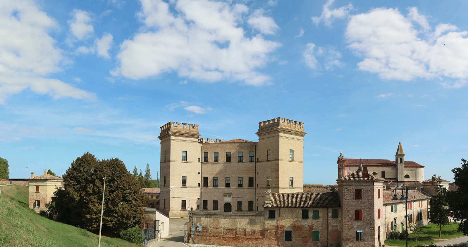
Mesola, a Delizia at the edge of the delta, is a hunting palace and a territorial instrument. By then the word castle is no longer enough. The Este world is fortress, house, court and landscape held as one political idea. Ferrara’s Castello Estense belongs to that idea; it is already photographed on the journey, so it is not shown here.
A different stone
Towards Romagna
Bologna, Imola, then fortified territory, then the Malatesta landscape.
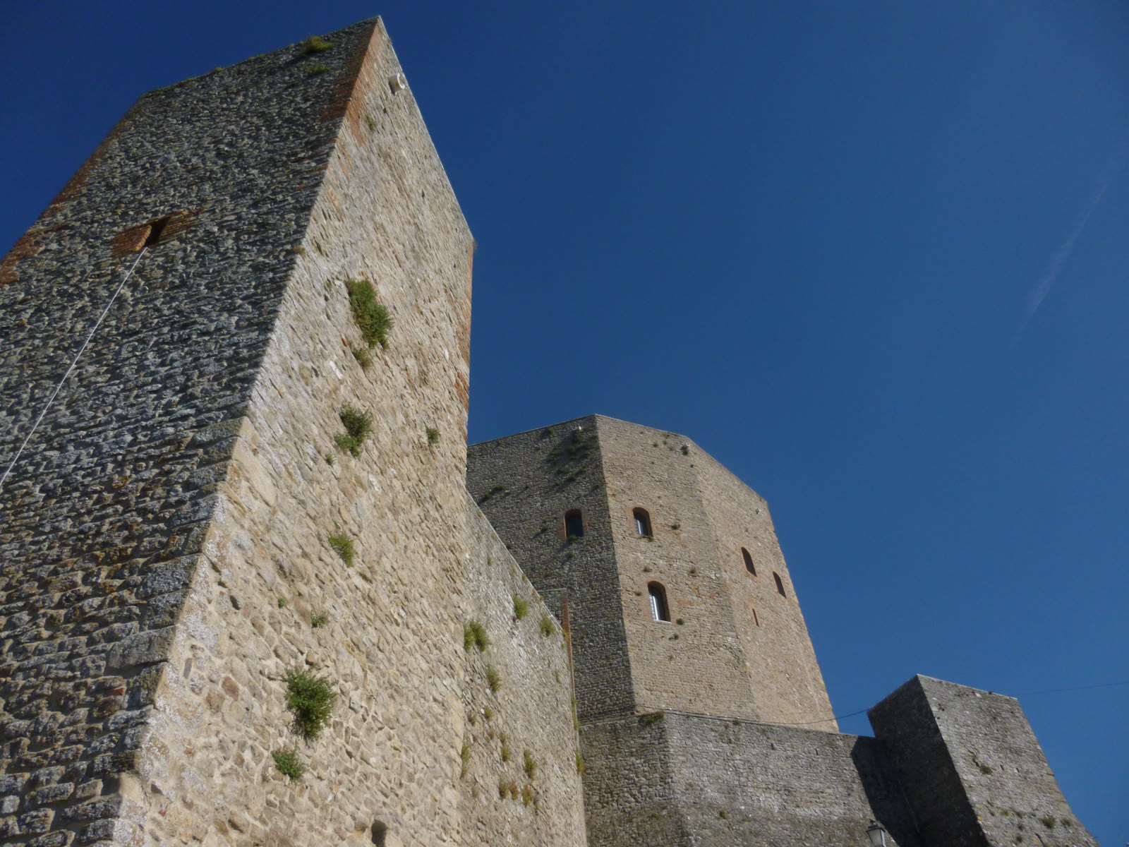
From Bologna the fortified line runs east through Imola before the names become Malatesta. Dozza looks back at the Bolognese plain. Cesena and Castel Sismondo, Rimini, keep an urban fortress. Verucchio and Montefiore Conca belong to the Marecchia stone — the landscape that made a family.
Castrocaro is a medieval hold above the town. Terra del Sole, beside it, is not. It is a sixteenth-century Medicean fortified town, planned: a different century’s idea of defence.
San Leo remains in this east as Montefeltro stone already plated on the journey.
Named without a plate
A longer index
The atlas is not finished when the folds are written. These names remain in the same geography, without a promise that they will be visited, and without a photograph for each.
Bianello · Guastalla · Castellarano · San Martino in Soverzano · Noceto · Contignaco · Castelnuovo Fogliani · Sissa-Trecasali · other Este Delizie besides Mesola.
Grazzano Visconti must be named with a split in mind. The castle is a historic Visconti hold. The village around it was given a neo-medieval shape between 1905 and 1915. The two are not the same survival.
Pontremoli belongs to Tuscany, in the Lunigiana. Sabbioneta belongs to Lombardy, a Gonzaga ideal city. Both sit in the same architectural conversation. Neither is in Emilia-Romagna.
A geography to choose from
The atlas is larger than the journey.
OHH! ITALY therefore begins with the atlas, not with a fixed route.
The map establishes what is possible.
The journey decides what belongs together.
Photographs: Wikimedia Commons, reduced for the web (Mesola also cropped). Compiano, Montechiarugolo and Tabiano — Parma1983, CC BY-SA 4.0. Colorno — Fabrizio Marcheselli, CC BY-SA 4.0. Val Tidone — nardi1987, CC BY 3.0. Mesola — Ingo Mehling, CC BY-SA 4.0. Montefiore Conca — Diego Baglieri, CC BY-SA 4.0. Interiors are not assumed. Public opening is verified when a brief is written.